![Hiking and Biking near Kingman, AZ]()
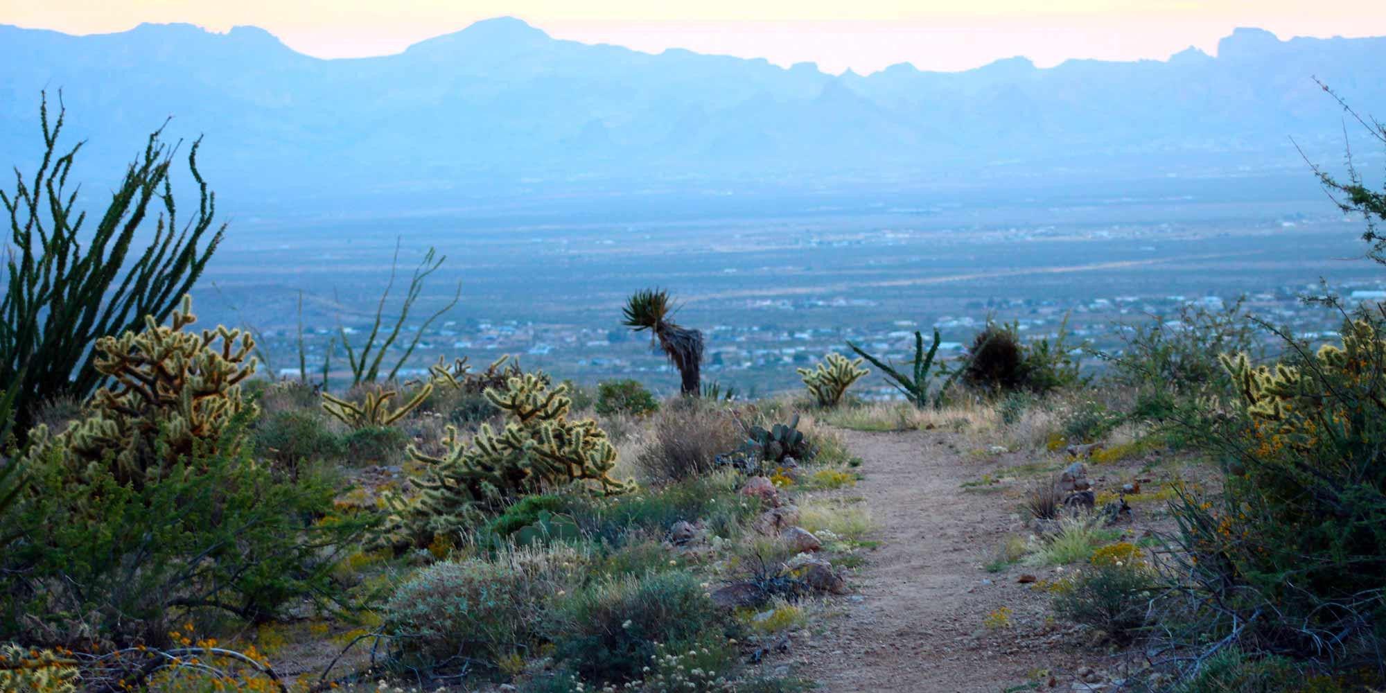
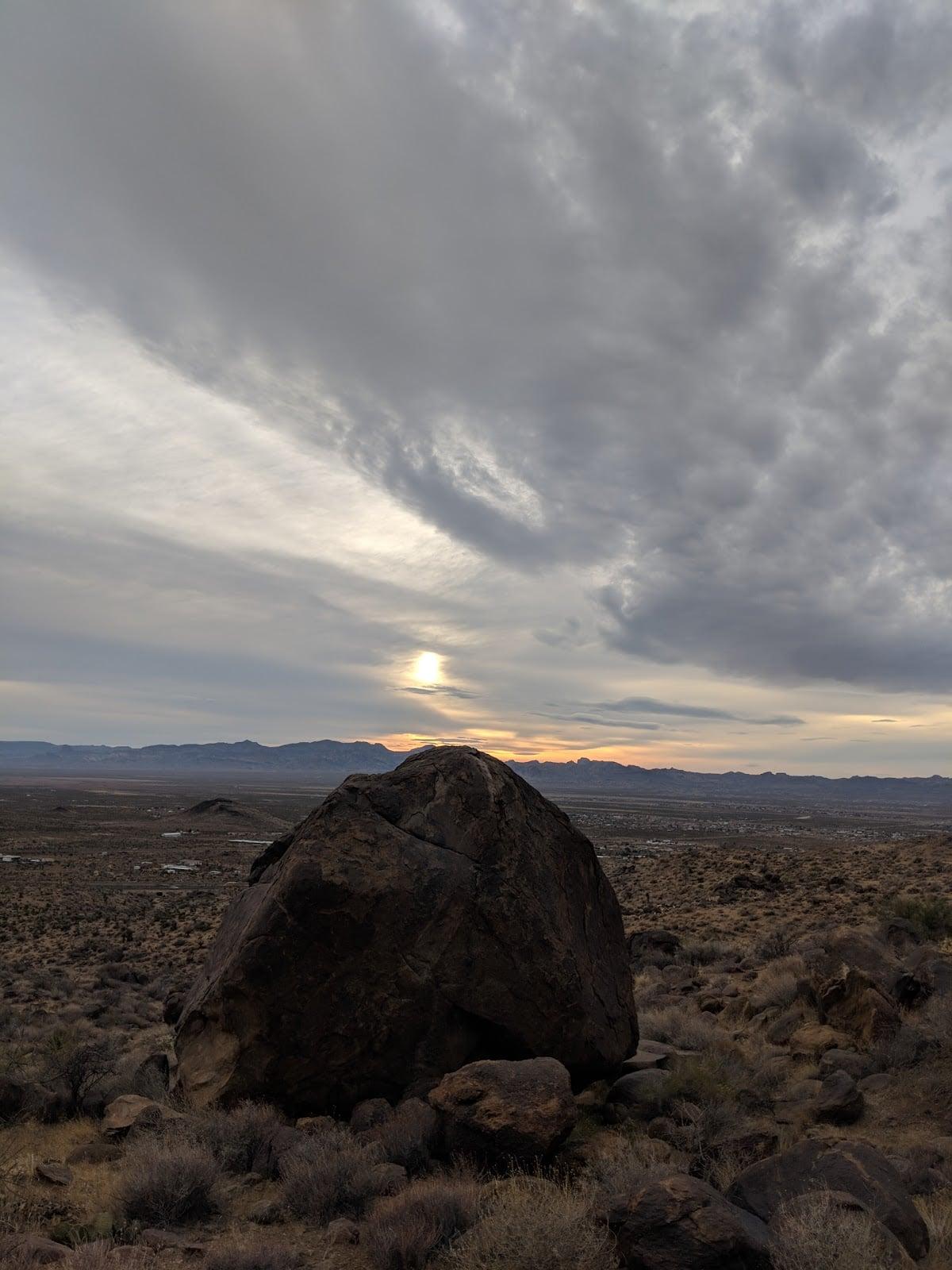
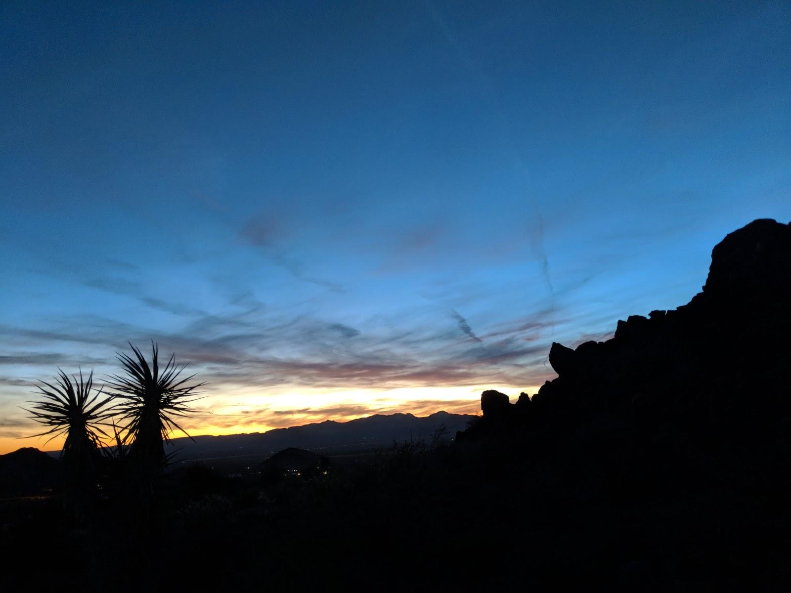
Badger Trail at sunset
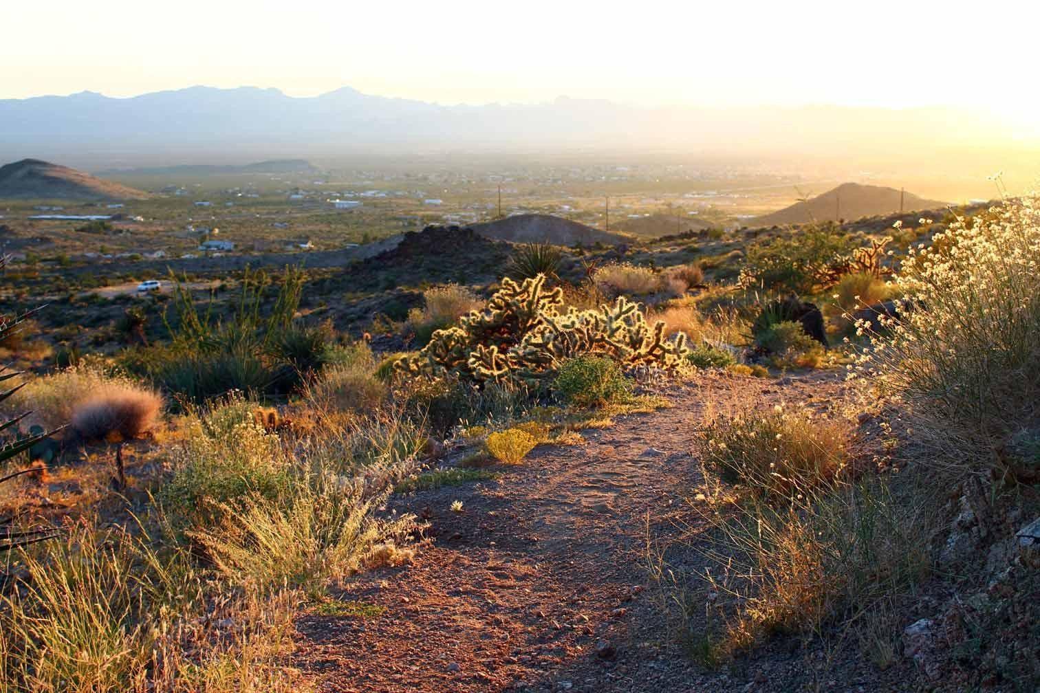
Badger Trail offers fantastic views of Sacramento Valley.
![Image content]()
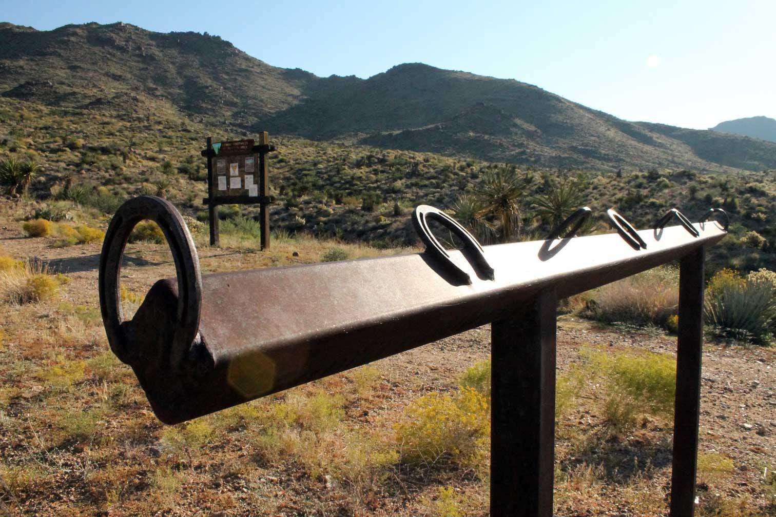
Badger Trailhead
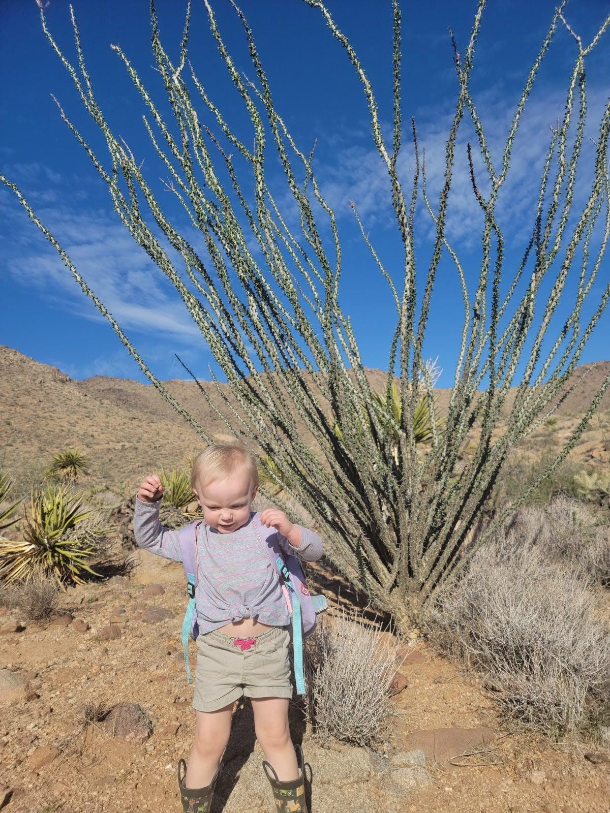
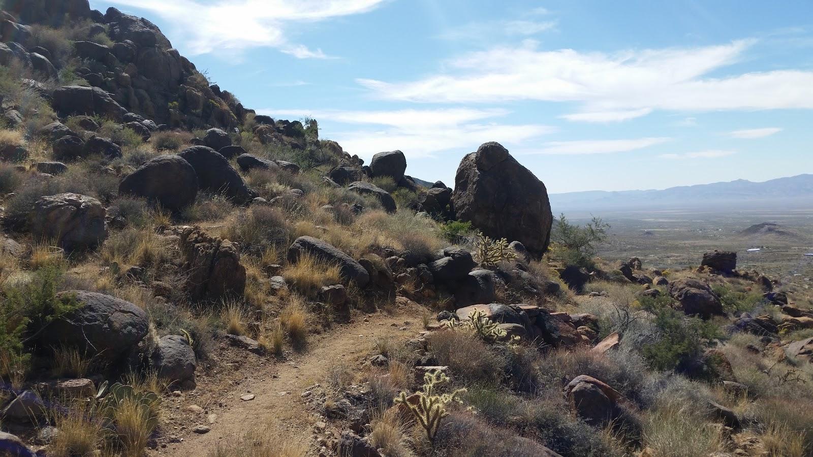
Badger Trail ascends into the Southern end of the Cerbat Mountains, meanders through scenic Mohave Desert vegetation and interesting granite rock outcroppings.
Previous
Next
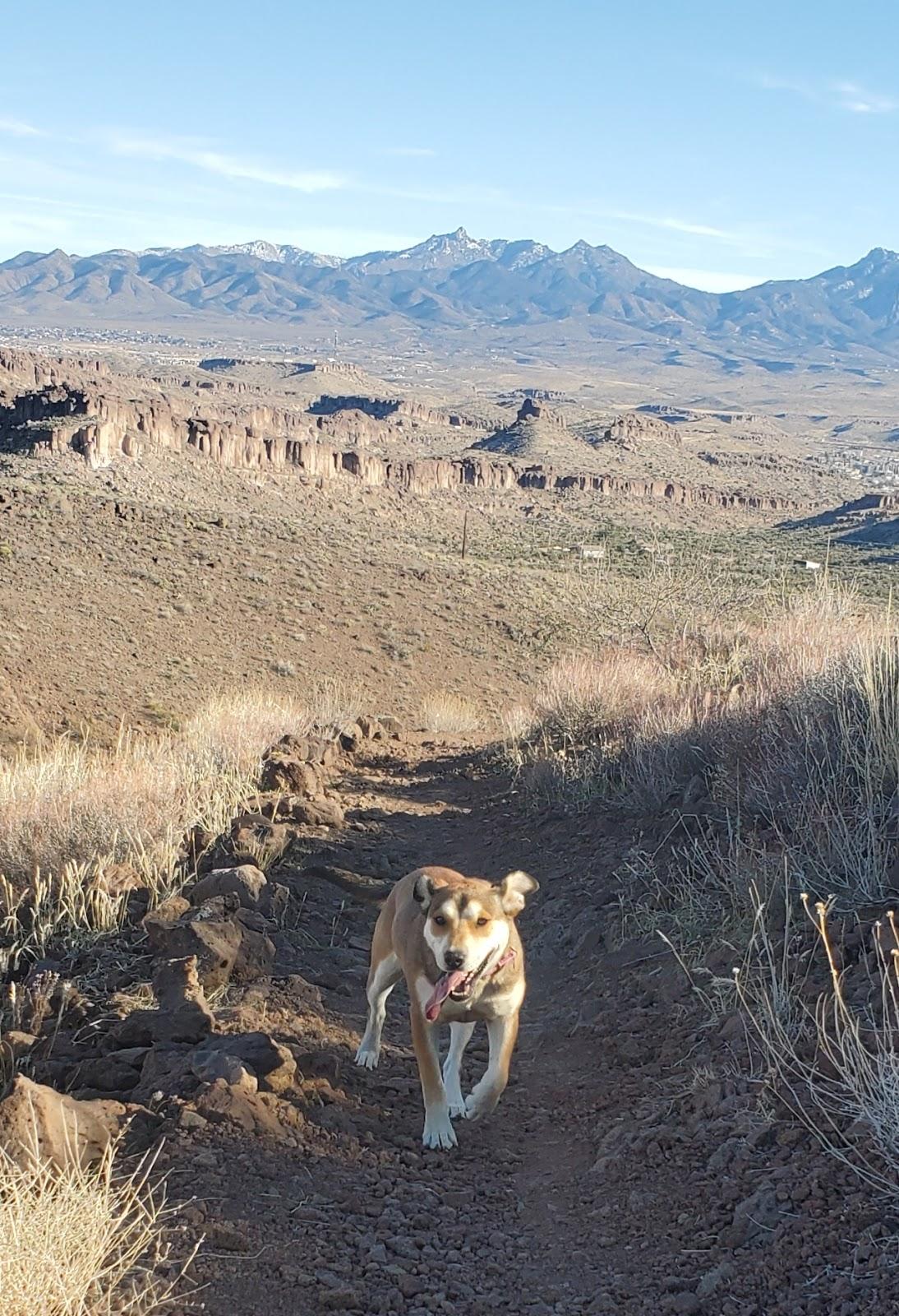
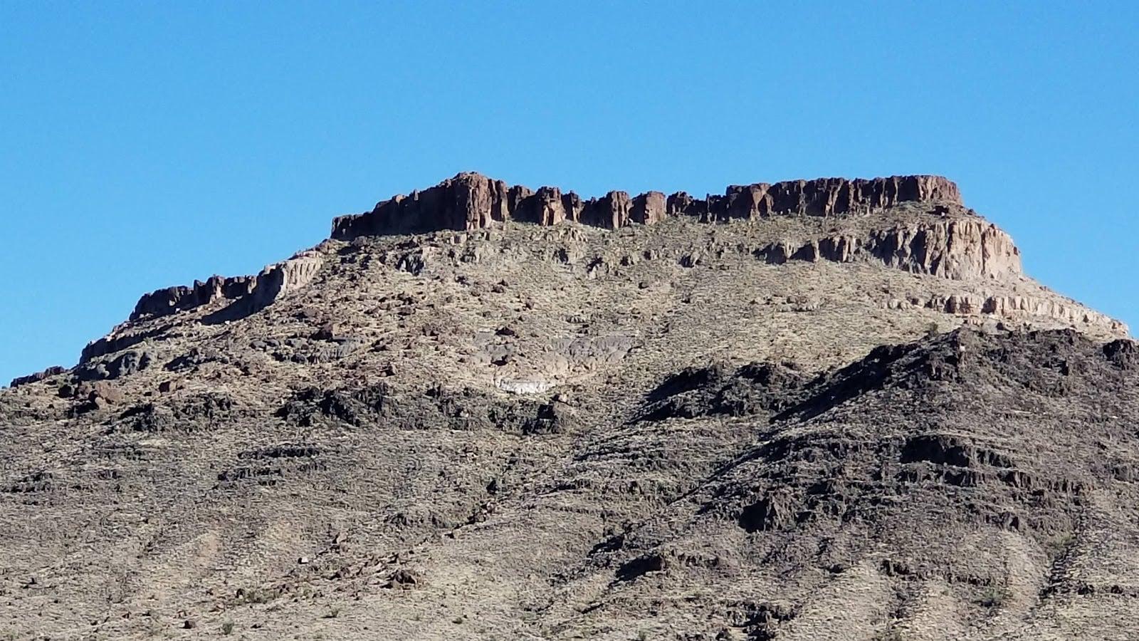
Ascending into the Southern end of the Cerbat Mountains, Badger Trail meanders through scenic Mojave Desert vegetation and interesting granite rock outcroppings. It is part of the Cerbat Foothills Recreational Area Trail System.
The route gains almost 1,100 feet/316m in elevation over its 3.2 mile length and joins with the Castle Rock Trail at the upper terminus. With a consistent 8 percent grade, you will find this route moderately strenuous to hike or bike. At several locations along the trail, you will be treated to spectacular views of the surrounding valleys and mountains. Weather conditions are most comfortable between the months of September and May, although early-morning use during the summer can be pleasant as well.
Drive Time one way: 10 minutes
Activity Time: 1-4 hrs
Trail Distance: 3.2 miles
Elevation: Trail head 3,410 ft (1,039m),
Gain: 1,036 ft (316m)
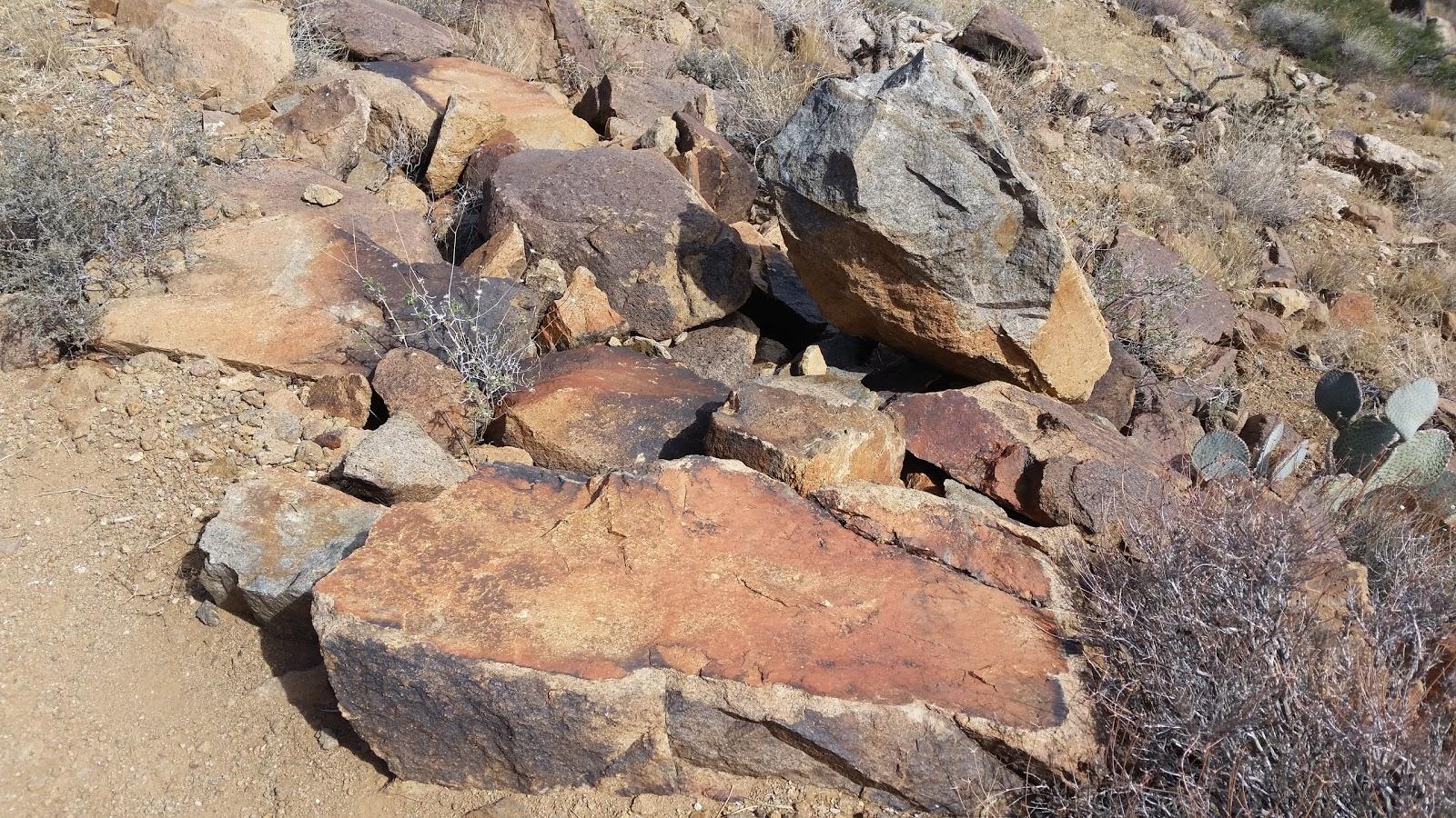
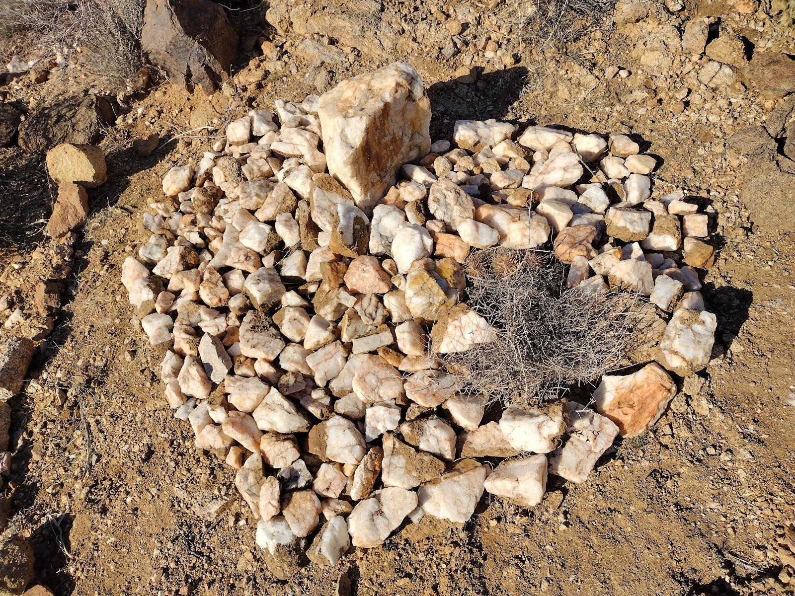
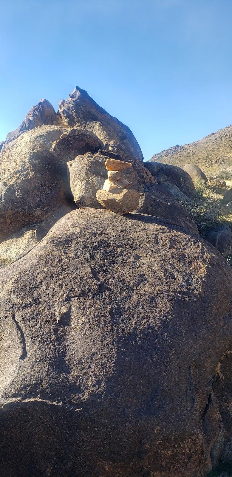
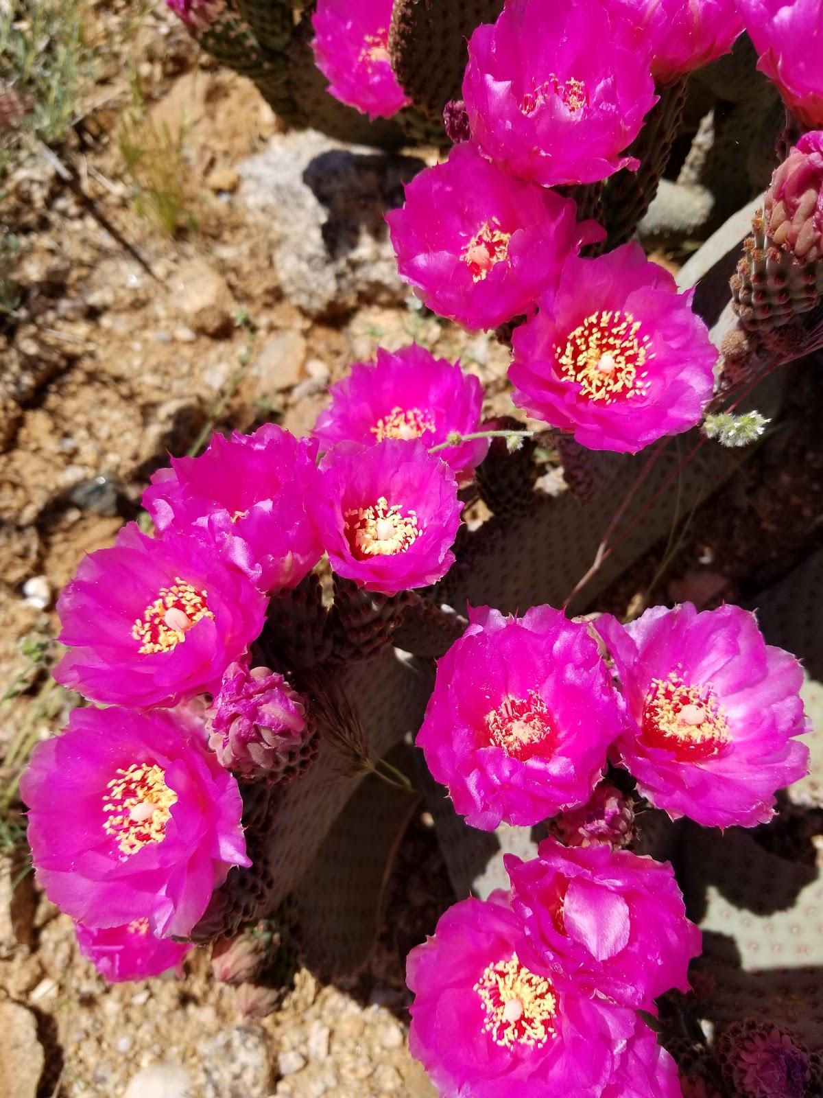
Special Features: Intriguing geologic features include jumbled masses of giant granite boulders and several prominent white quartz rock outcropping. In years of abundant winter rainfall, spectacular wildflower displays can be seen the following spring.
Access: To get to Badger Trail from Kingman, follow U. S. Highway 93 five miles northwest from the city limits. The trailhead is located one-quarter mile north of the Highway 68 intersection (the first right turn after the intersection).
Visitor Activities: Hiking, mountain biking, horseback riding and trail running. No motorized uses are permitted.
 H: 54°
 H: 55°
 H: 54°
 H: 57°
 H: 56°
