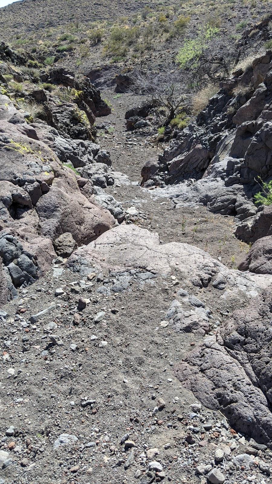
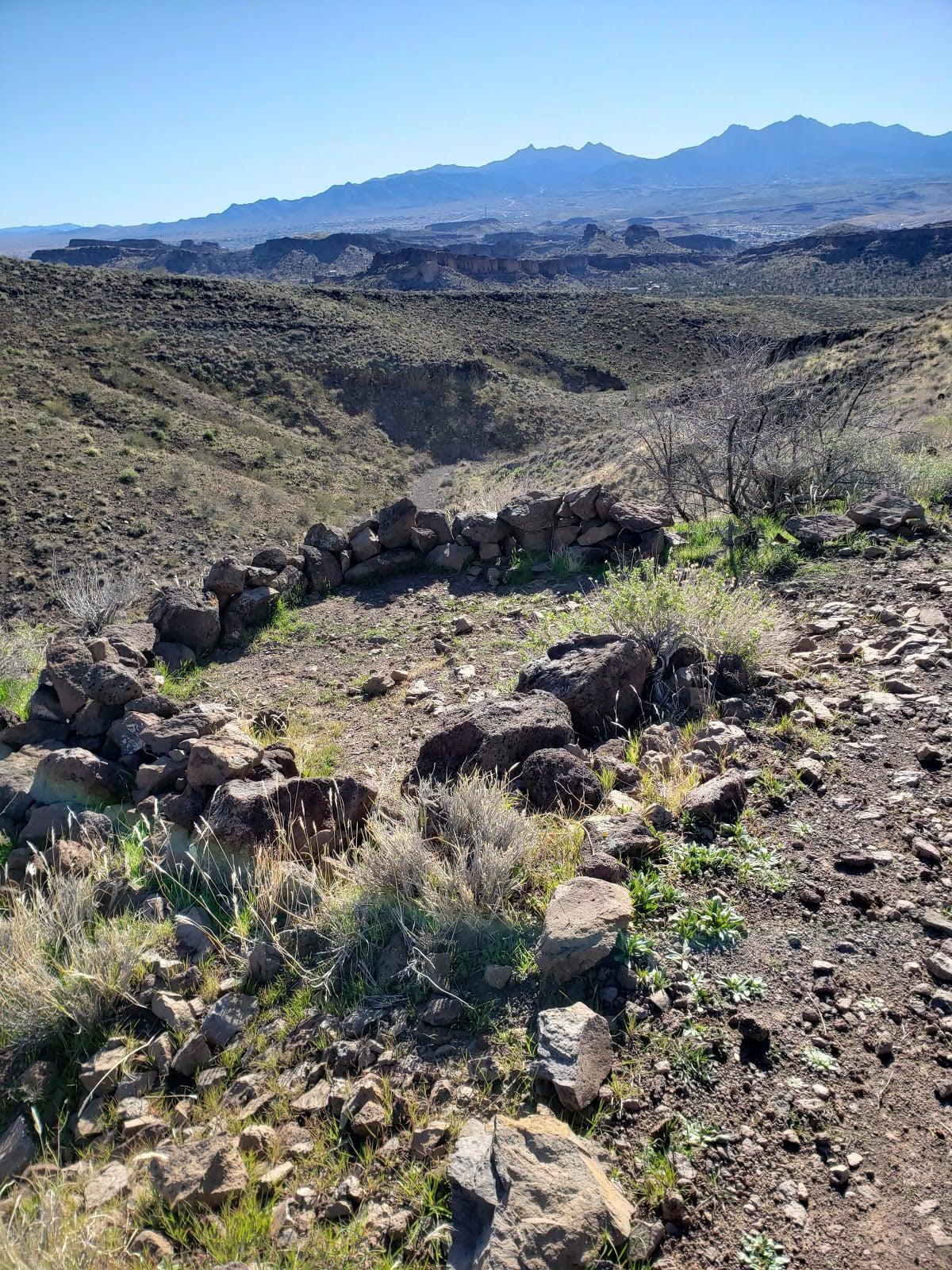
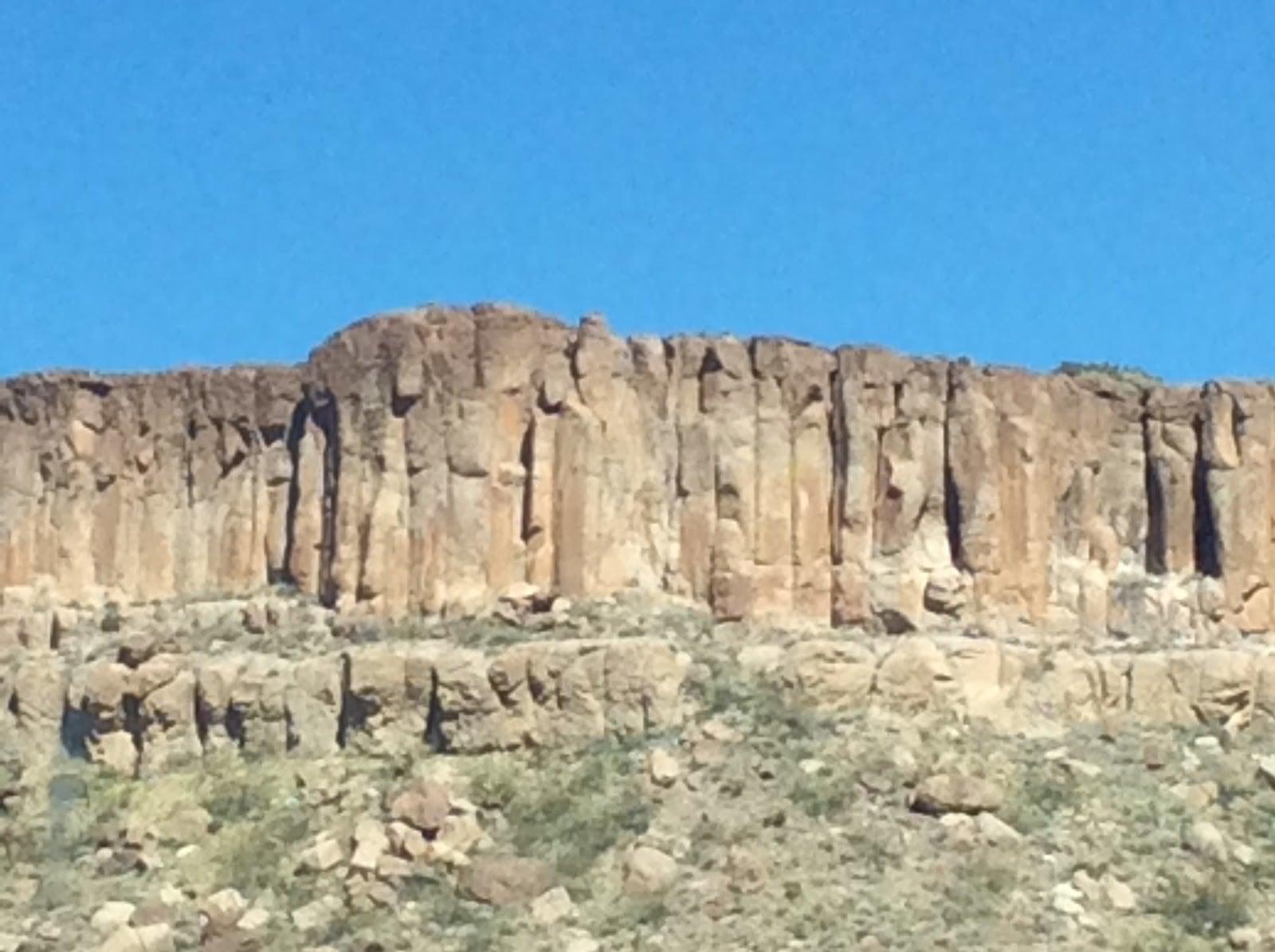
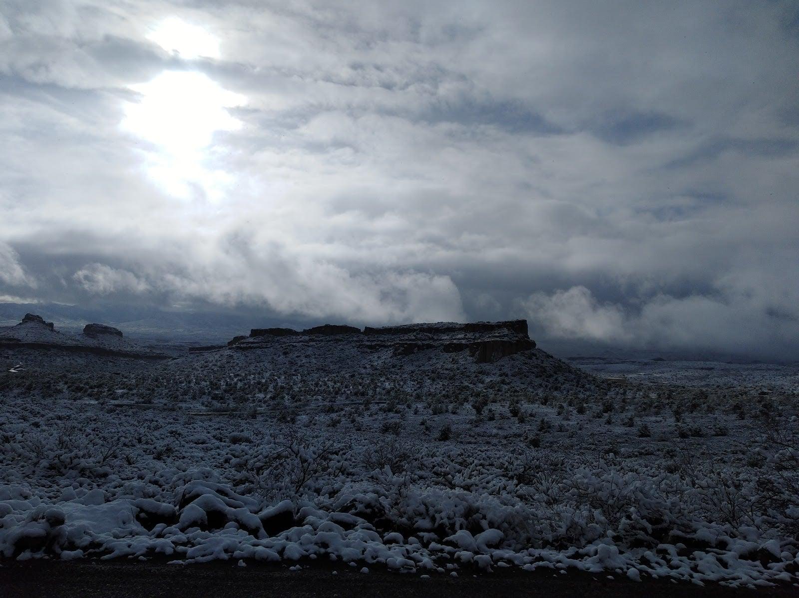
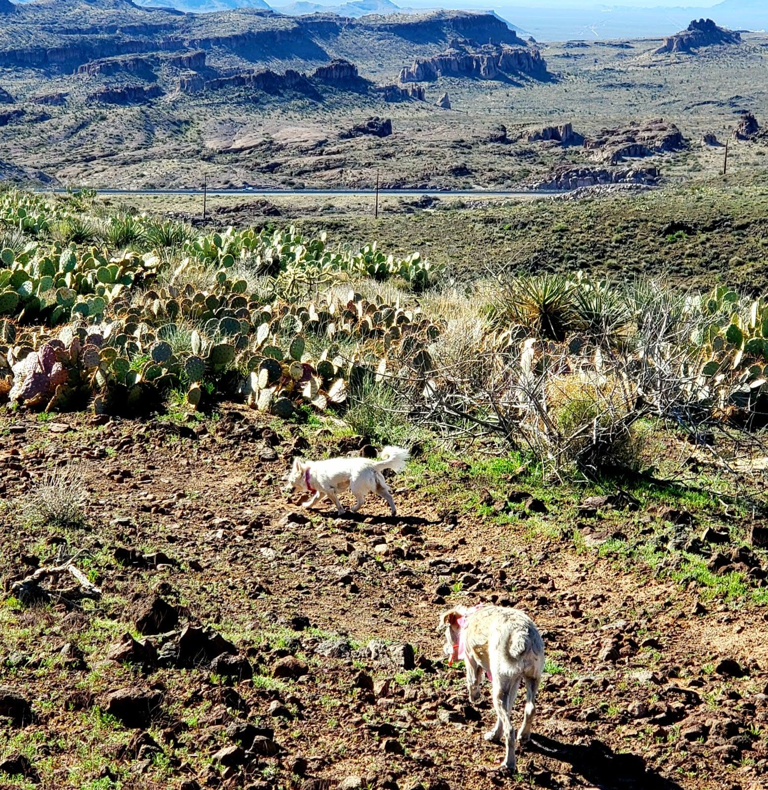
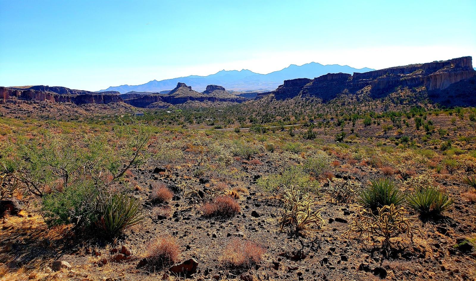
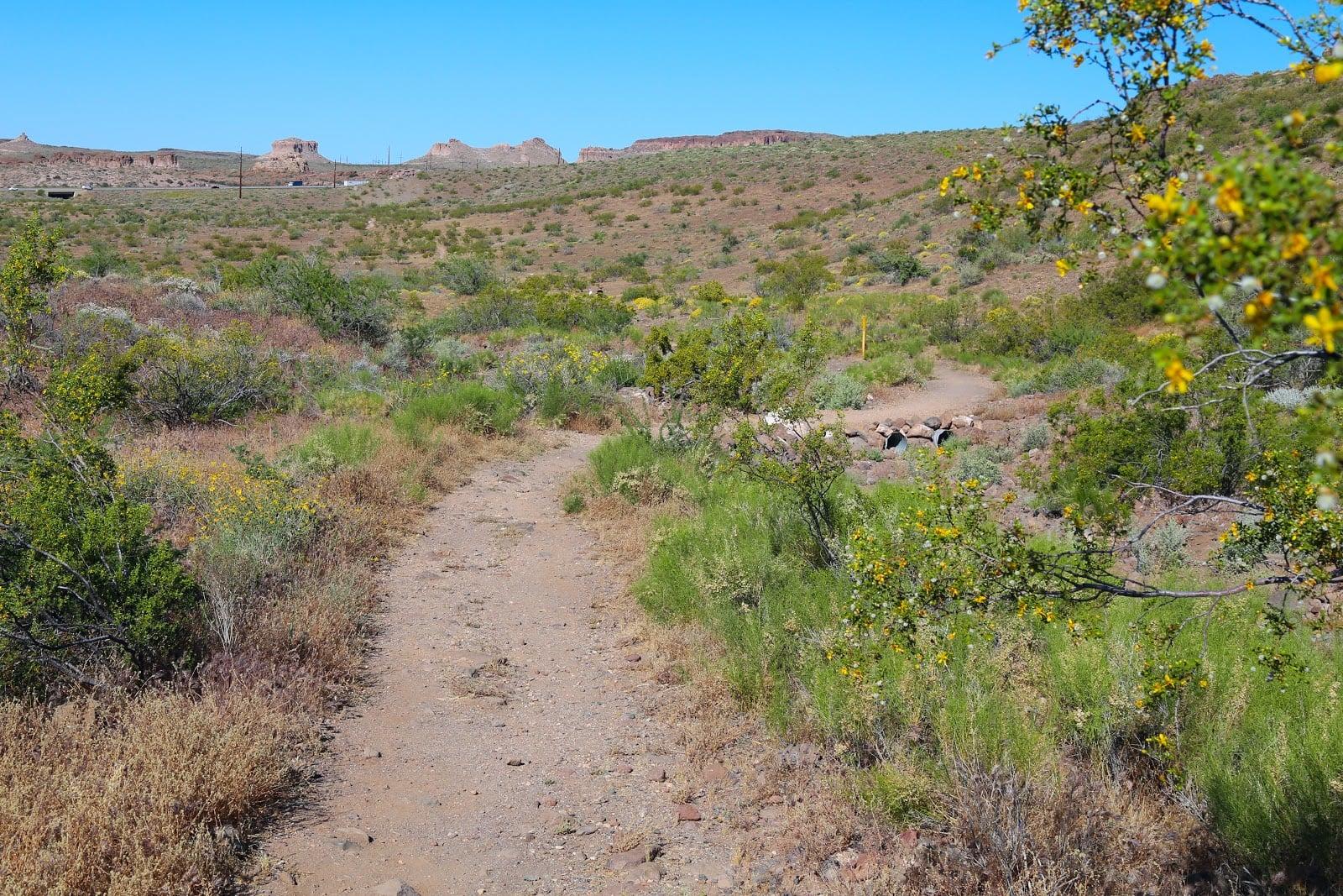
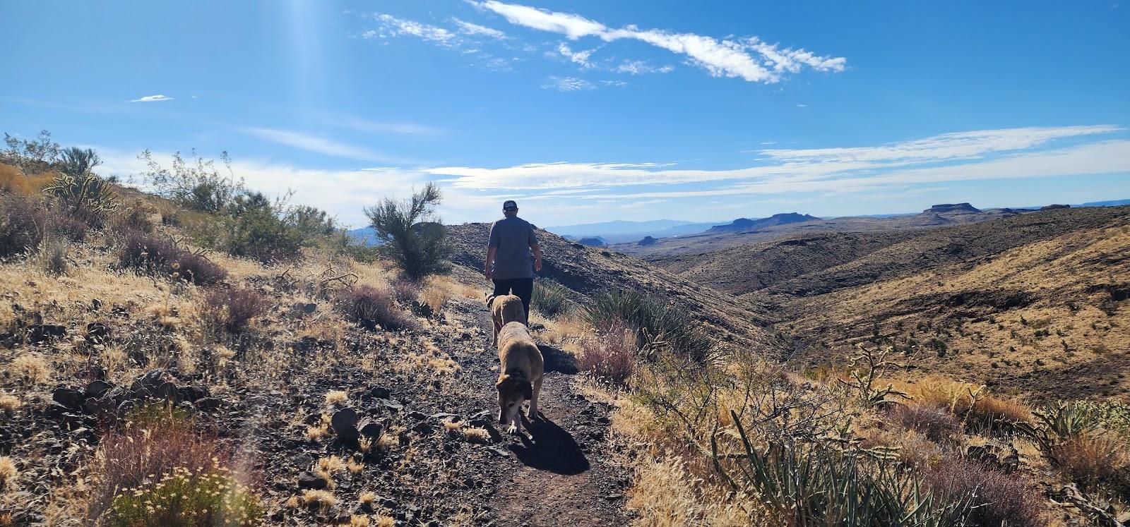
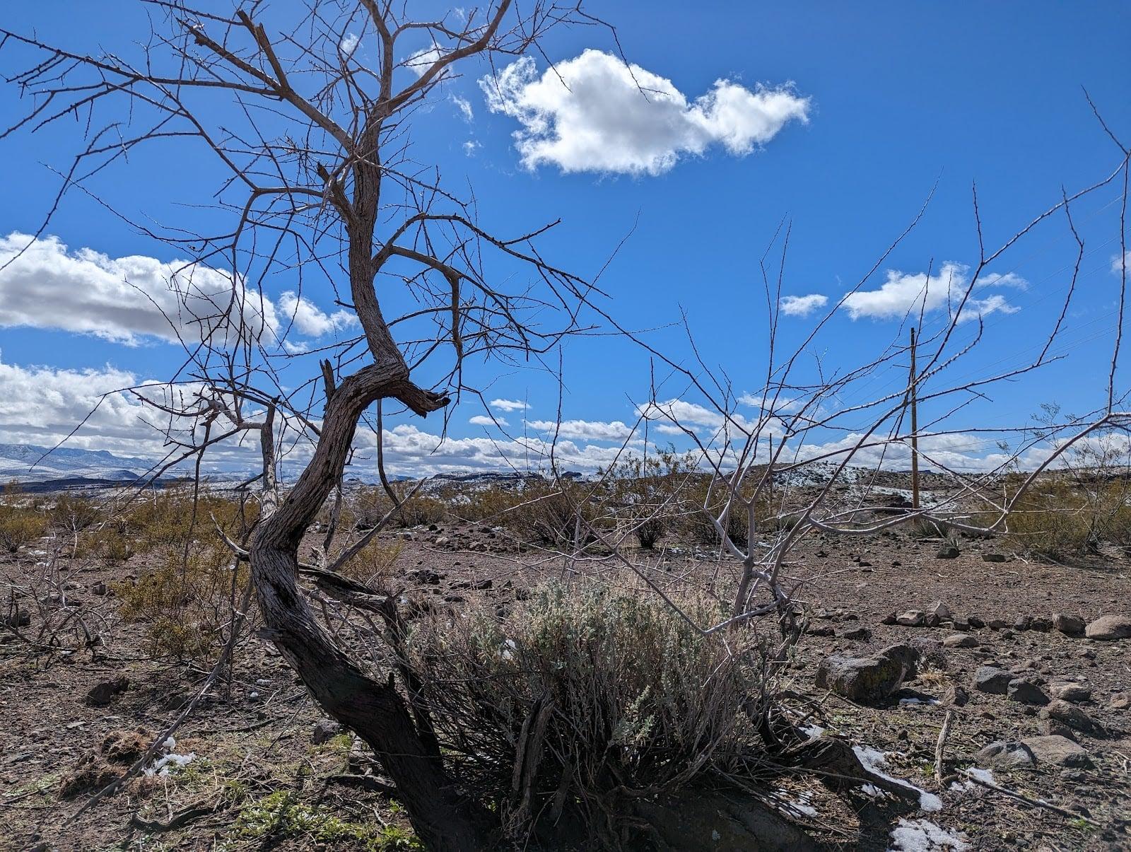
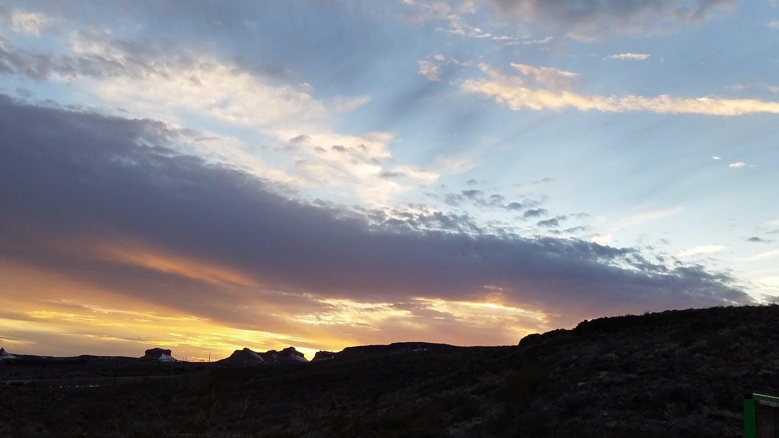
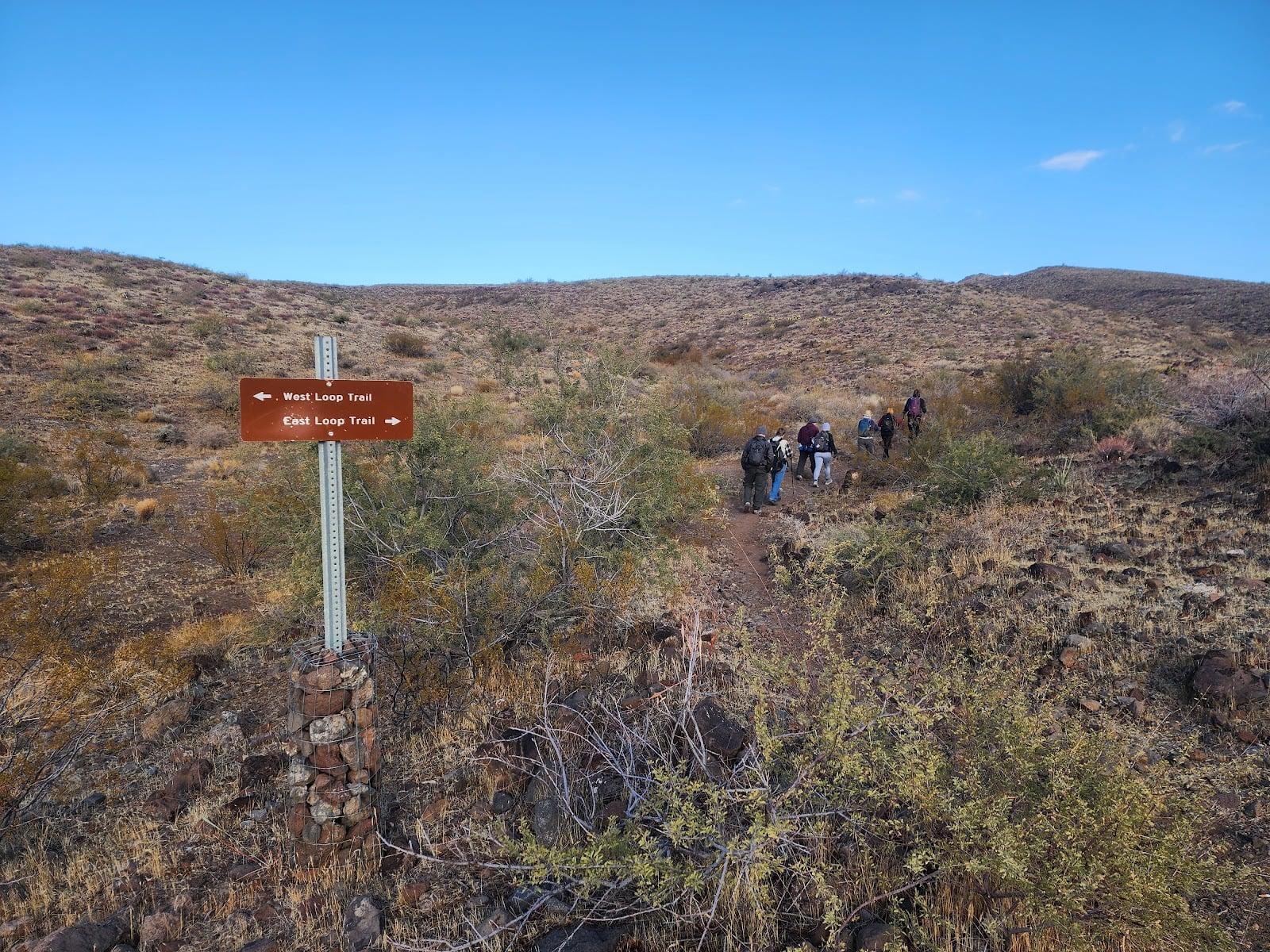
Camp Beale Loop Trail is a multipurpose (non-motorized) hiking, mountain bicycling, and equestrian trail meandering to the top of a mesa, and back down. Grades average 5%, with some short sections reaching 10-12%.
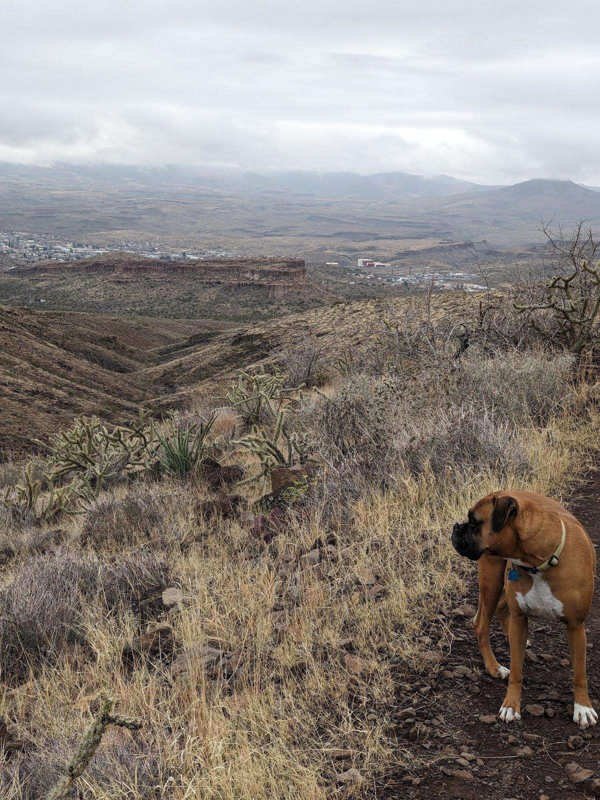
Camp Beale Loop Trail can be traveled clockwise or counterclockwise. Clockwise, the climb up to the top of the hill is longer but less steep. The reward is many switchbacks and a shorter, but steeper descent. Traveling the loop counterclockwise means facing some steep climbing from the outset. From the top of the ridge you will have a view of Kingman and the Hualapai Mountains to the East, the Black Mountains & Golden Valley to the West. Be aware that this trail is on “open range” land and you may occasionally encounter livestock on or around the trails.
Average Hike Time: 2-4 hrs
Trail Distance: 3.2 miles
Drive Time one way: 10 minutes
Elevation: Trail head 3,626 ft (1,105m),
Gain: 500 ft (152m)
Access: From downtown Kingman travel west on Beale St. /US Highway 93. Continue under the I-40 approximately. 7 mile to Fort Beale Drive. Turn right on to Fort Beale Dr. and travel 1.5 miles to the paved entry road. Turn left and drive to the parking lot & trail head. This area is daytime use only.
 H: 70°
 H: 74°
 H: 78°
 H: 79°
 H: 78°
